Sarıyer forest belt
Areas across northern Sarıyer
Compare settlements by access, housing type, density and daily routine.
- area guides
- 6 area guides
- areas with live listings
- 3 areas with live listings
Films
Get to know the village before the house.
A house is chosen on its listing page; a village is chosen by where you have breakfast and where you get your coffee. Walk the area in short films we shot ourselves.
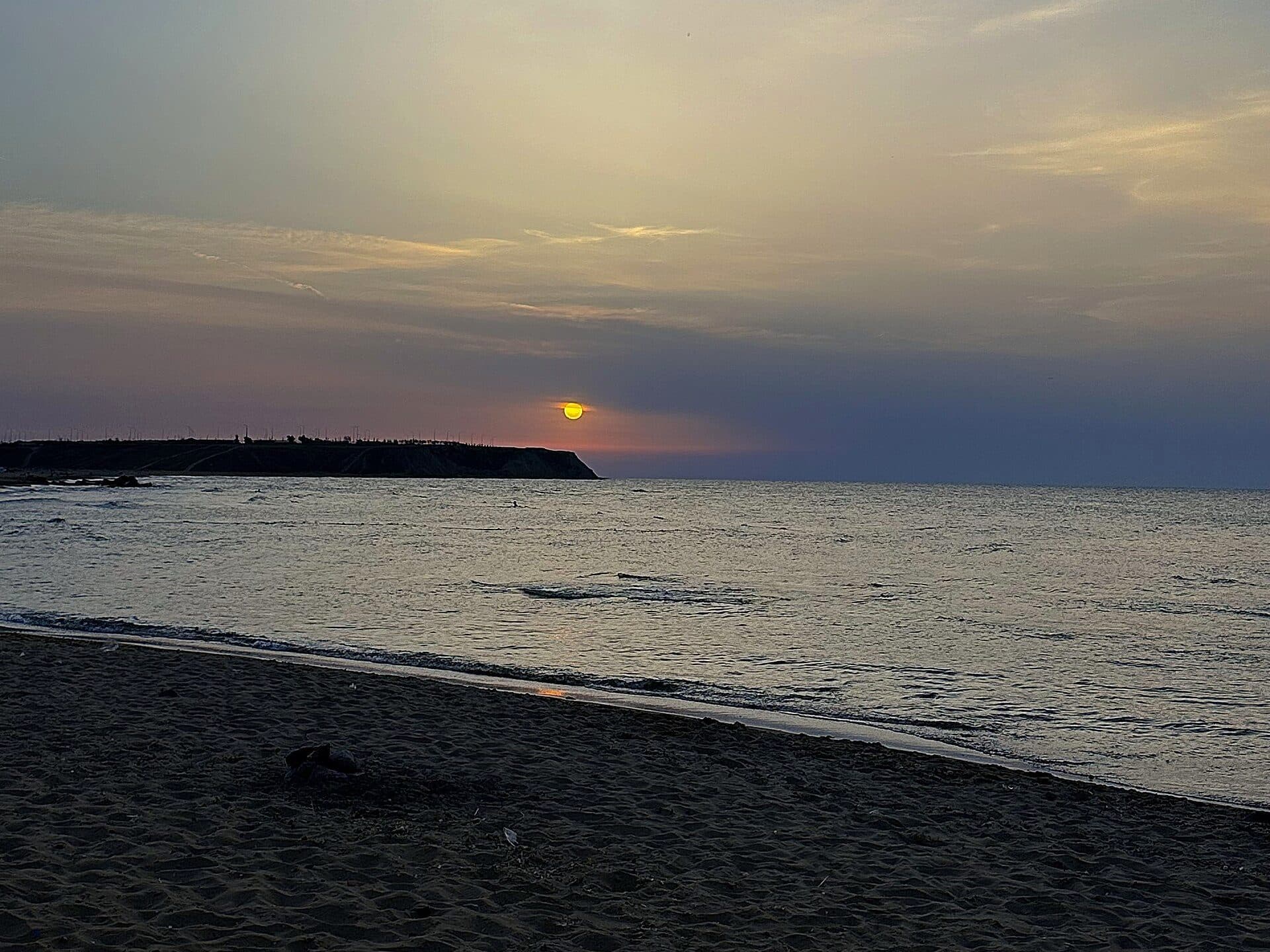 Kısırkaya beachArea guide
Demirciköy
Demirciköy sits on the road network running north and is the village closest to forest and open countryside.
Read the Demirciköy guide
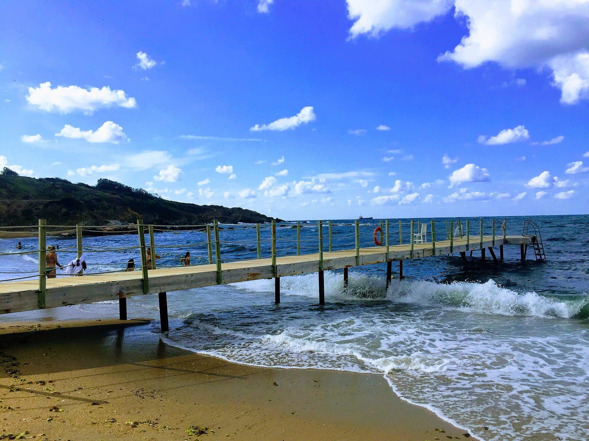 The beach at Kilyos2 listings
Kilyos
Kilyos is the only part of the belt where you can walk to the Black Sea, and the sea changes everything: wind, humidity and a seasonal rhythm.
Read the Kilyos guide
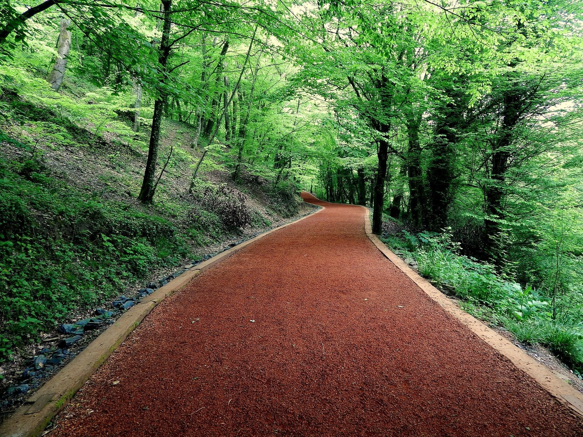 Belgrad ForestArea guide
Maden
Maden is the transition zone between central Sarıyer and the forest belt.
Read the Maden guide
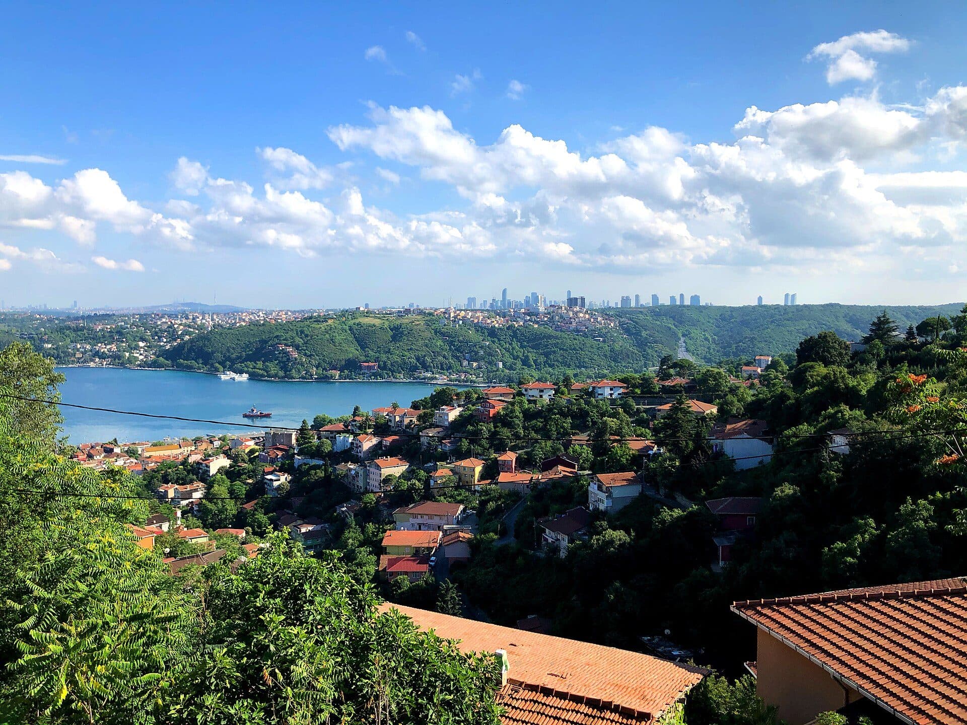 The Bosphorus from the Sarıyer hillsArea guide
Sarıyer
Sarıyer is the district the forest belt belongs to, stretching from the Bosphorus shore settlements to the edge of the Belgrad Forest.
Read the Sarıyer guide
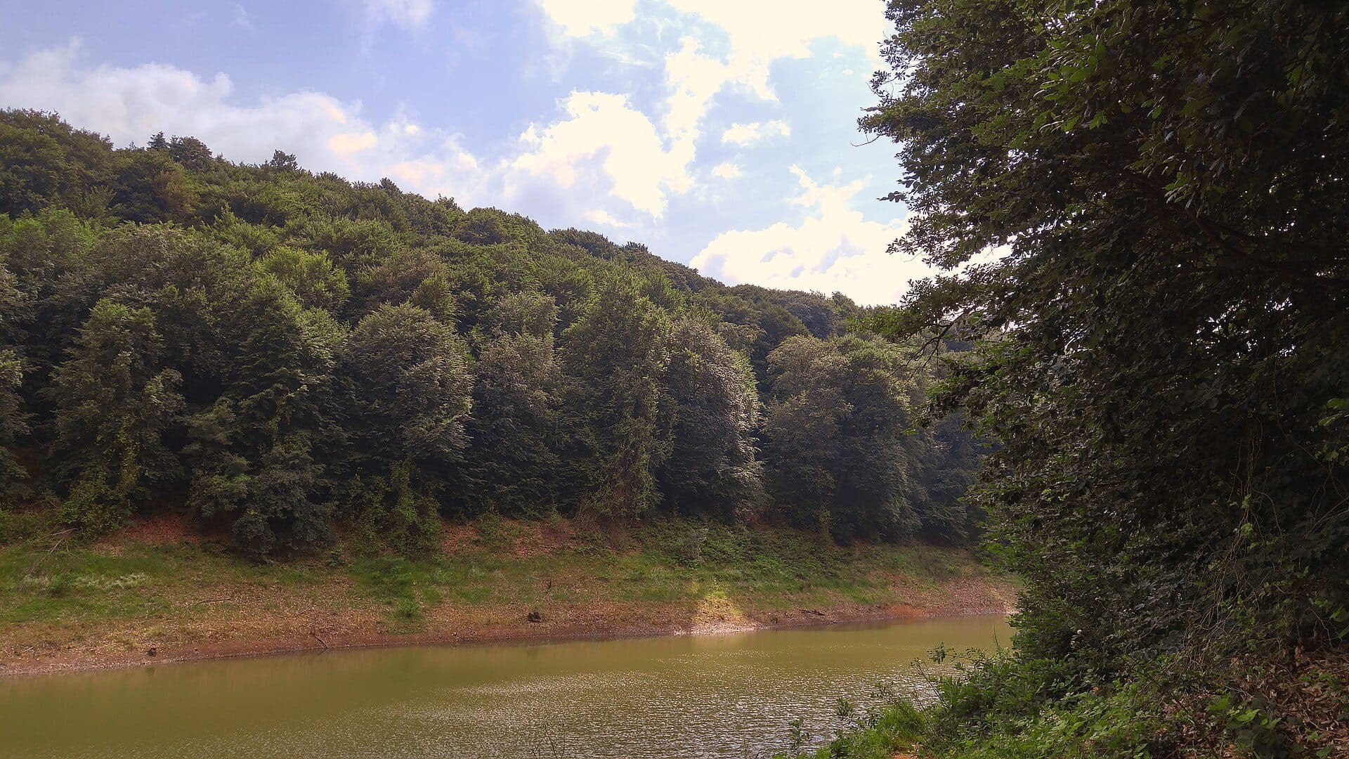 Belgrad Forest, a reservoir lake6 listings
Uskumruköy
Uskumruköy is the village that comes closest to the koru, the protected woodland.
Read the Uskumruköy guide
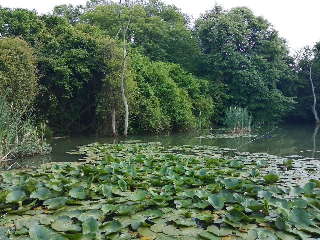 A pond in Zekeriyaköy15 listings
Zekeriyaköy
Zekeriyaköy is the centre of the belt and its most established village.
Read the Zekeriyaköy guide
Photo credits
Kısırkaya beach · Photo: Aysinirmakyigit / Wikimedia Commons · CC0 1.0
The beach at Kilyos · Photo: Louis Oelofse / Wikimedia Commons · CC BY-SA 4.0
Belgrad Forest · Photo: Sinan Şahin / Wikimedia Commons · CC BY 3.0
The Bosphorus from the Sarıyer hills · Photo: Glassmug29 / Wikimedia Commons · CC BY-SA 4.0
Belgrad Forest, a reservoir lake · Photo: Mostafameraji / Wikimedia Commons · CC BY-SA 4.0
A pond in Zekeriyaköy · Photo: Mohsen Izadyari / Wikimedia Commons · CC BY-SA 4.0