Overview
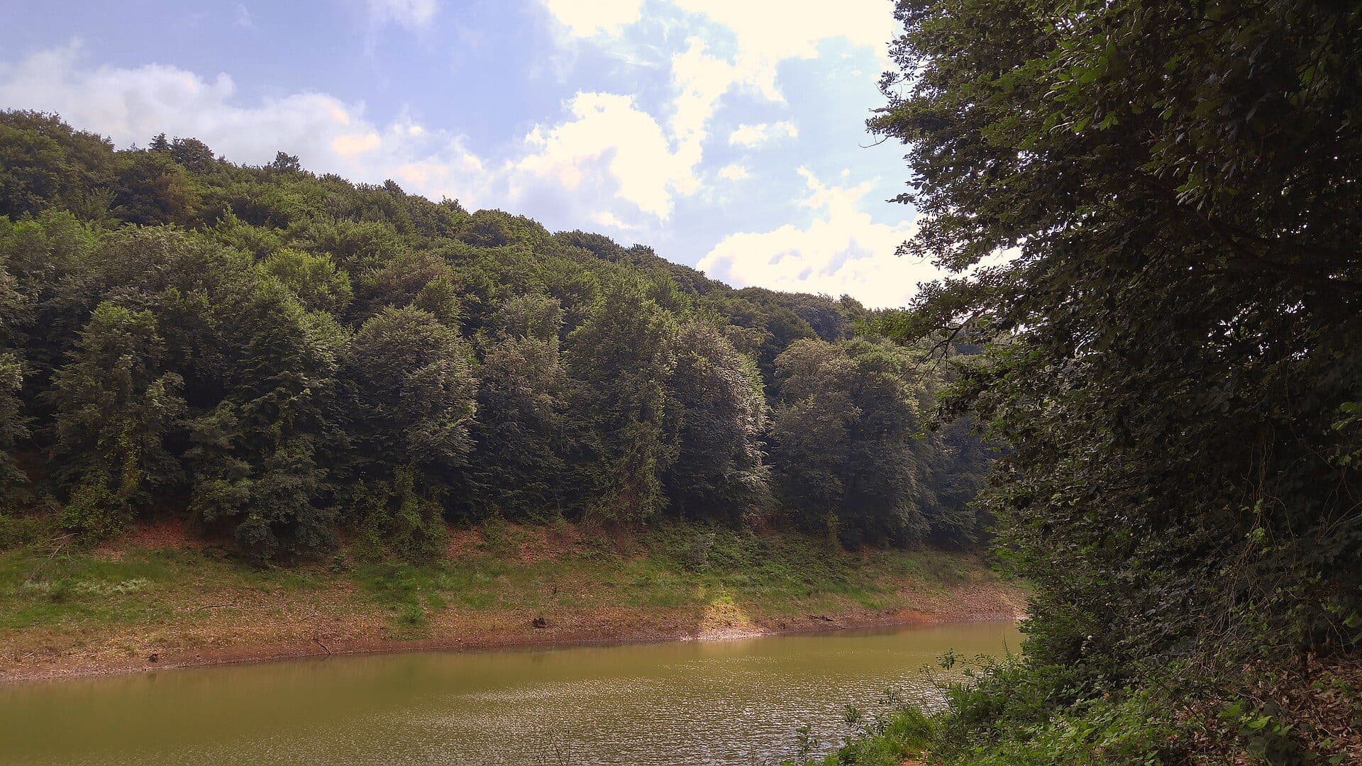
By land, Uskumruköy is the largest village in Sarıyer, lying between the Belgrad and Gümüşdere forests and the Black Sea coast. Plots are larger than in most of the belt and gardens are used more freely.
The belt's new developments have concentrated here in recent years, so this is where the newest homes are. The Uskumruköy junction of the Northern Marmara Motorway is beside the village, and Kilyos beach and the Zekeriyaköy high street are five minutes away. The GO Partners office is in Uskumruköy too.
The village's story
Uskumruköy means 'mackerel village'. Evliya Çelebi records Janissary armies camping at 'Uskumru Çayırı', the mackerel meadow, so the name is at least four centuries old.
In the early Republic the village belonged to the Zekeriyaköy sub-district. Its original families were of Balkan-migrant and Albanian origin, living from livestock and woodcutting, and it kept the look of a Rumelian village until the 1990s. Nearby, a ruined watchtower attributed to the Genoese is known locally as the 'Ovid Tower'.
Nature
By land, Uskumruköy is the largest village in Sarıyer, at about 16 km². It is bounded by Gümüşdere and the Belgrad forests to the west, Kilyos and the Black Sea to the north, Demirciköy to the east and Zekeriyaköy and Bahçeköy to the south. The old village is two hamlets: Aşağıköy along the Sofadere stream, and Yukarıköy some 500 metres uphill.
The dunes around Arıköy, Sarıtepe and Tatlısu belong to the Uskumruköy dunes area listed among WWF-Türkiye's 122 Important Plant Areas of Turkey. With Zekeriyaköy, the area was registered as a natural site (sustainable conservation and controlled use) in 2023.
Getting around
The Uskumruköy junction (K11) of the Northern Marmara Motorway is right beside the village — the belt's shortest way to the airport and the Yavuz Sultan Selim Bridge. Istanbul Airport is about 32 km, under half an hour in free-flowing traffic. The Hacıosman metro is about 15 km by road; the Zekeriyaköy high street is 4 km and Kilyos beach 4.5 km.
Bus 152 (Hacıosman Metro – Zekeriyaköy/Kısırkaya) runs through the village centre; line 151 and the H-8 airport bus stop at Uskumruköy Yolu on Kilyos Caddesi.
Schools and health
The village has two state schools, Uskumru primary school and Ali Akkanat Anatolian High School. The nearest private and international schools are 4 km away in Zekeriyaköy: the Zekeriyaköy campus of British International School Istanbul and the Doğa schools.
The nearest private medical centre is Acıbadem in Zekeriyaköy, and the nearest public hospital is Sarıyer Hamidiye Etfal Training and Research Hospital on Bahçeköy Caddesi.
Daily life
The village centre has small shops — grocers, coffee houses, a hardware store — and garden restaurants and pizzerias line Kilyos Caddesi. For a big shop and other errands, the Zekeriyaköy high street is five minutes away.
The real draw is quiet and nature: on plots that back onto the forest there are trees behind the house rather than buildings, and Kilyos beach is five minutes away. The GO Partners office is in Uskumruköy too.
Homes
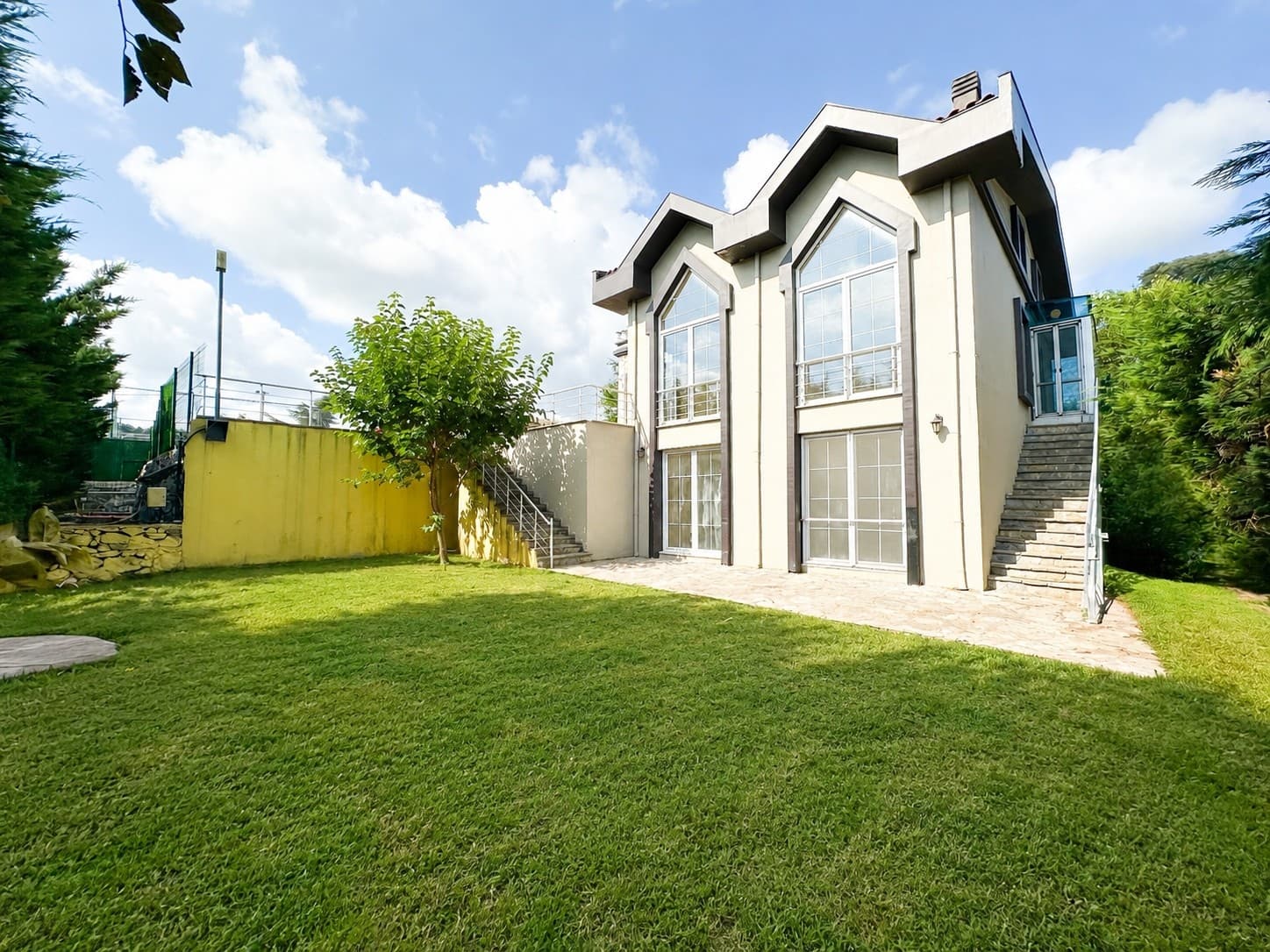
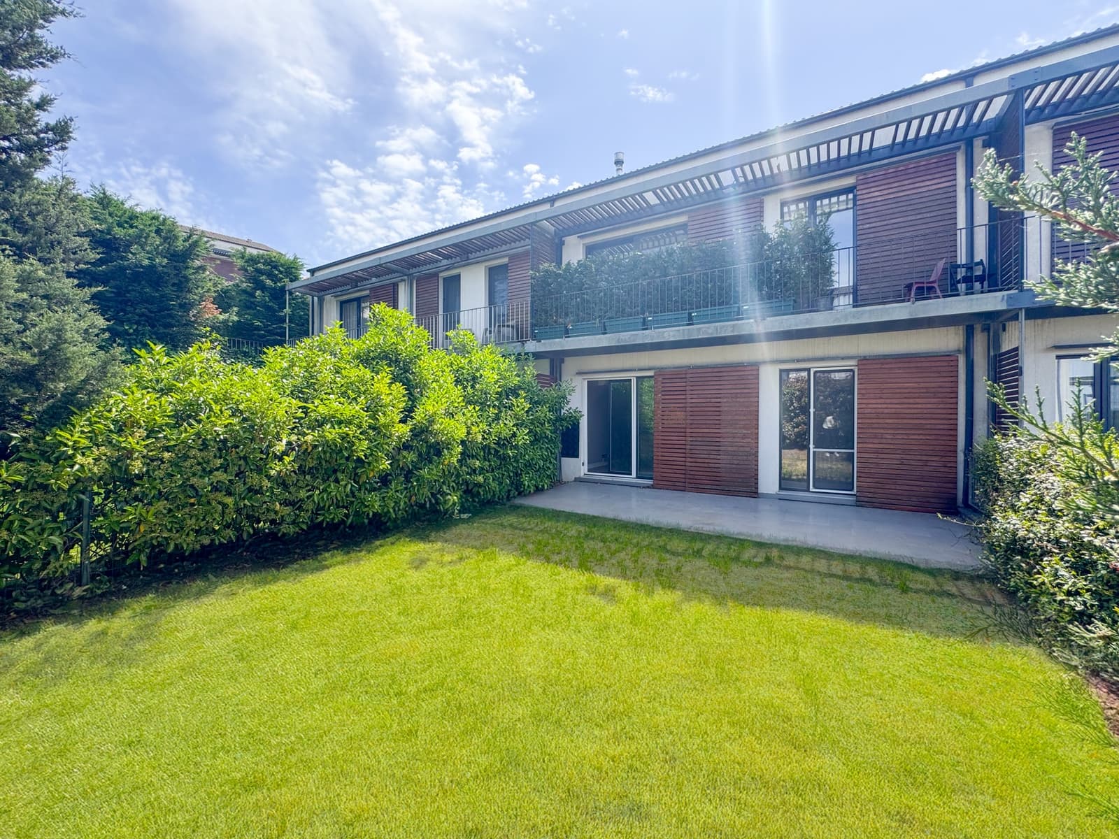
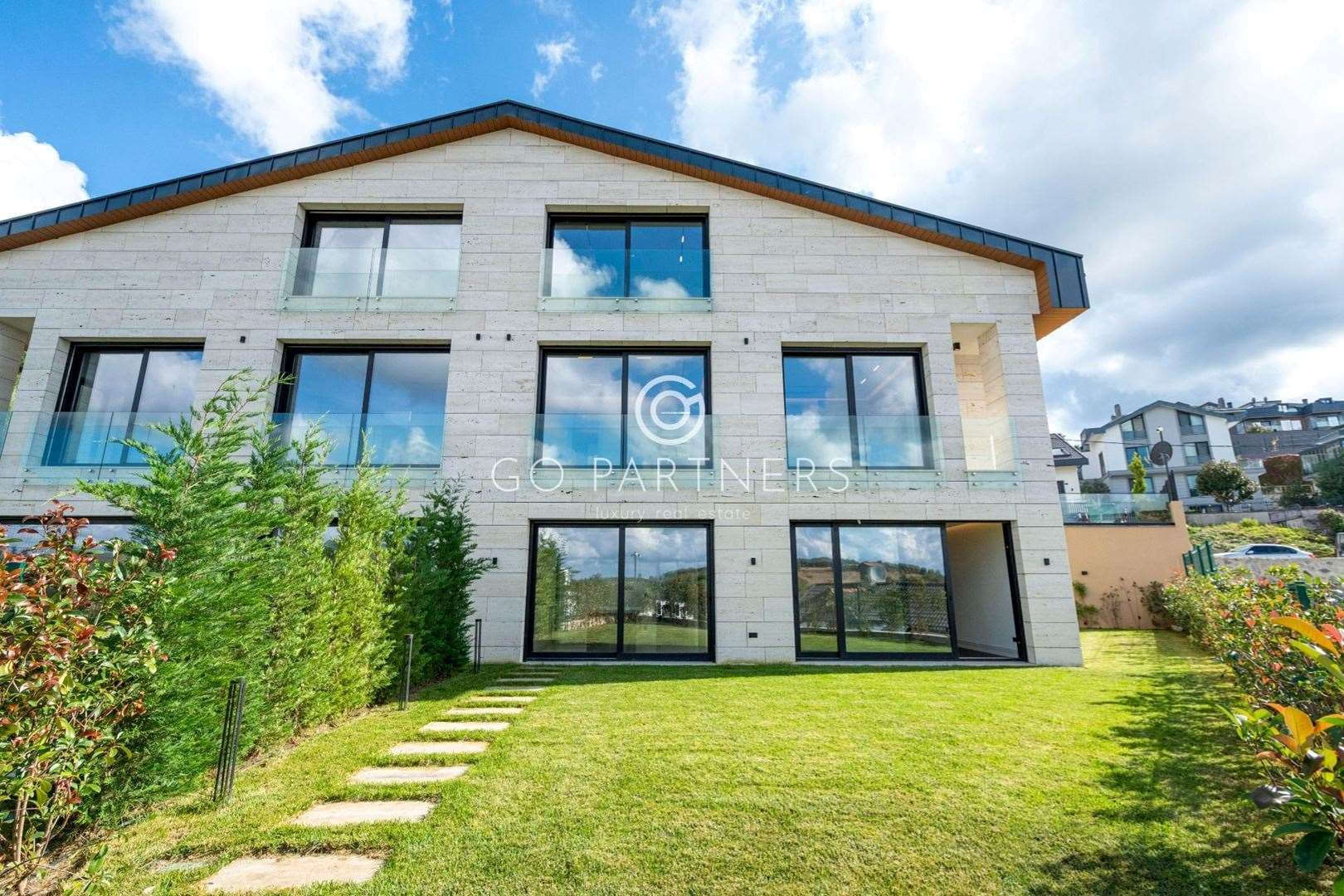
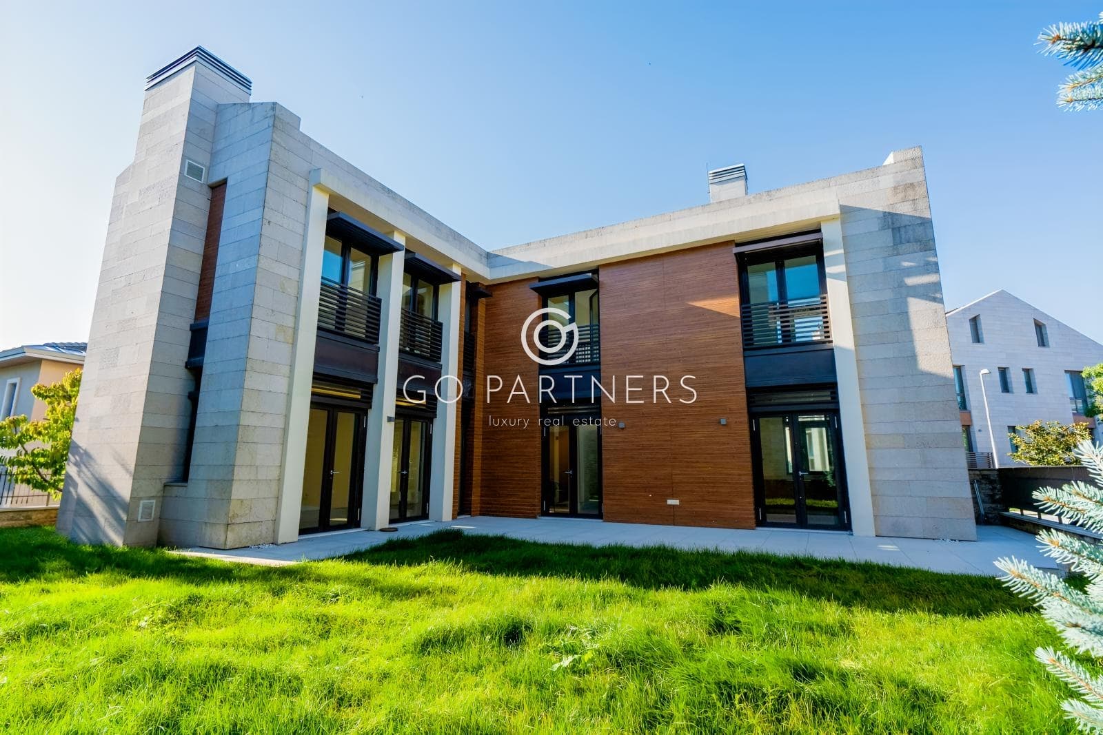
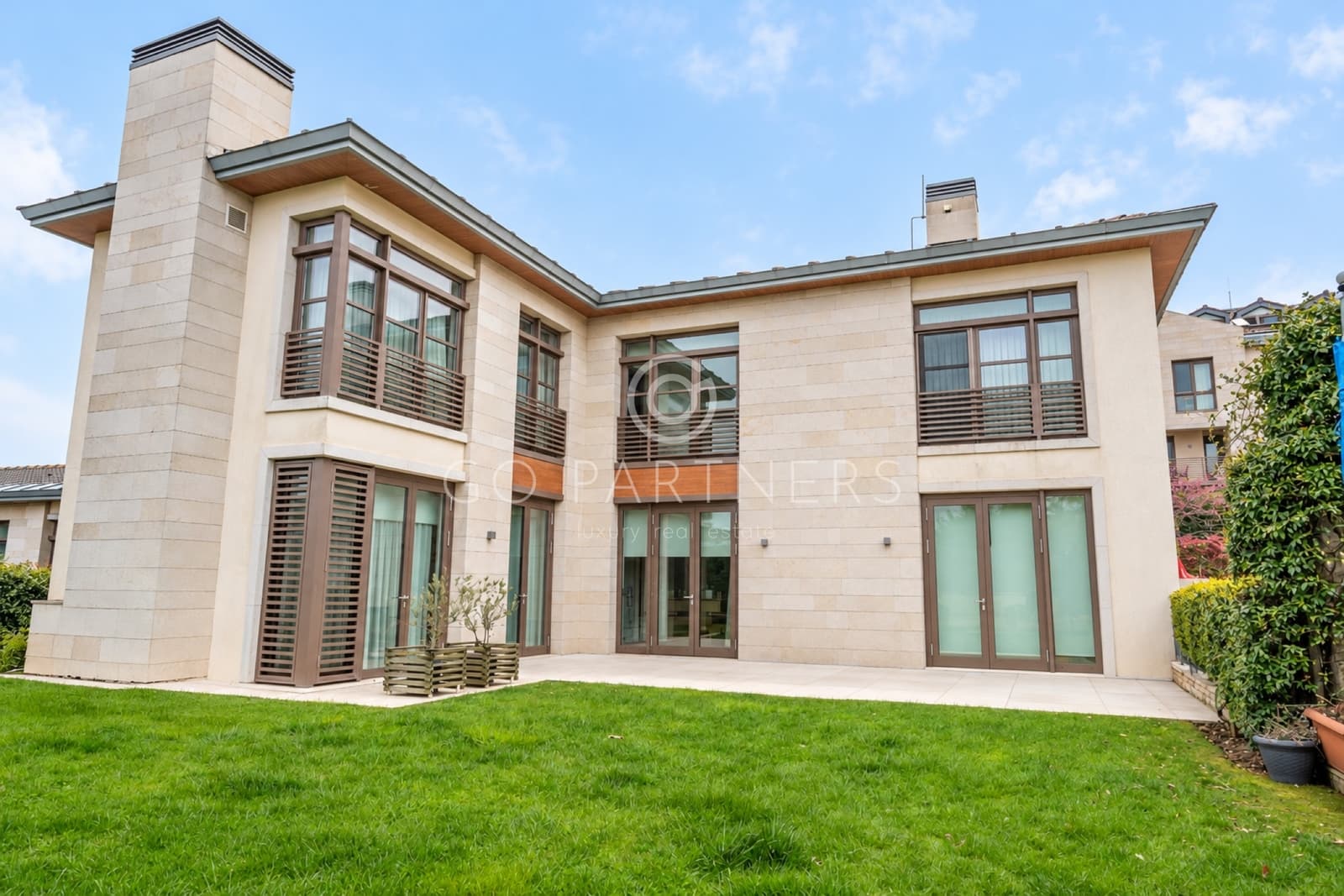
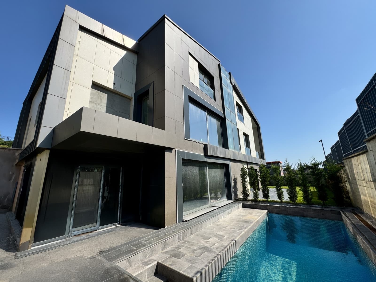
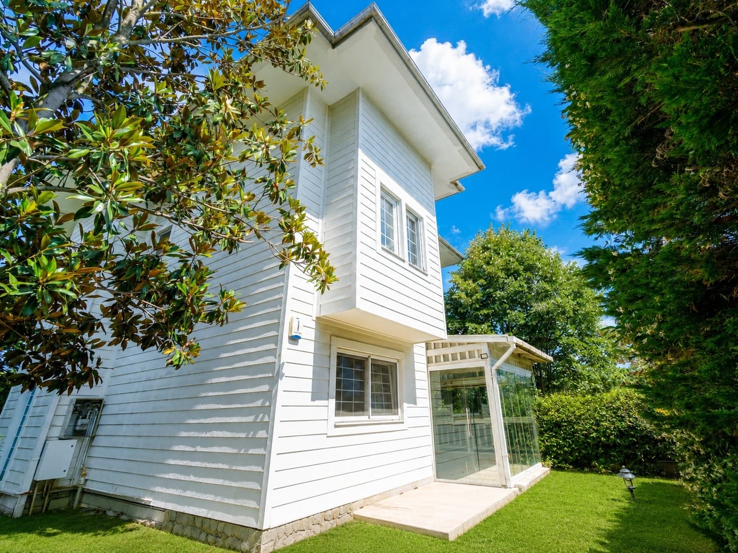
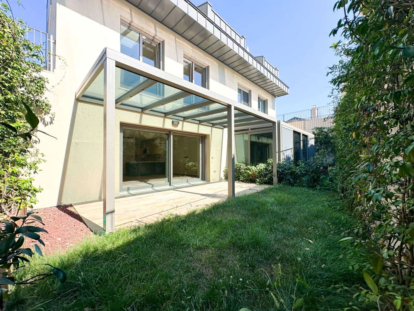
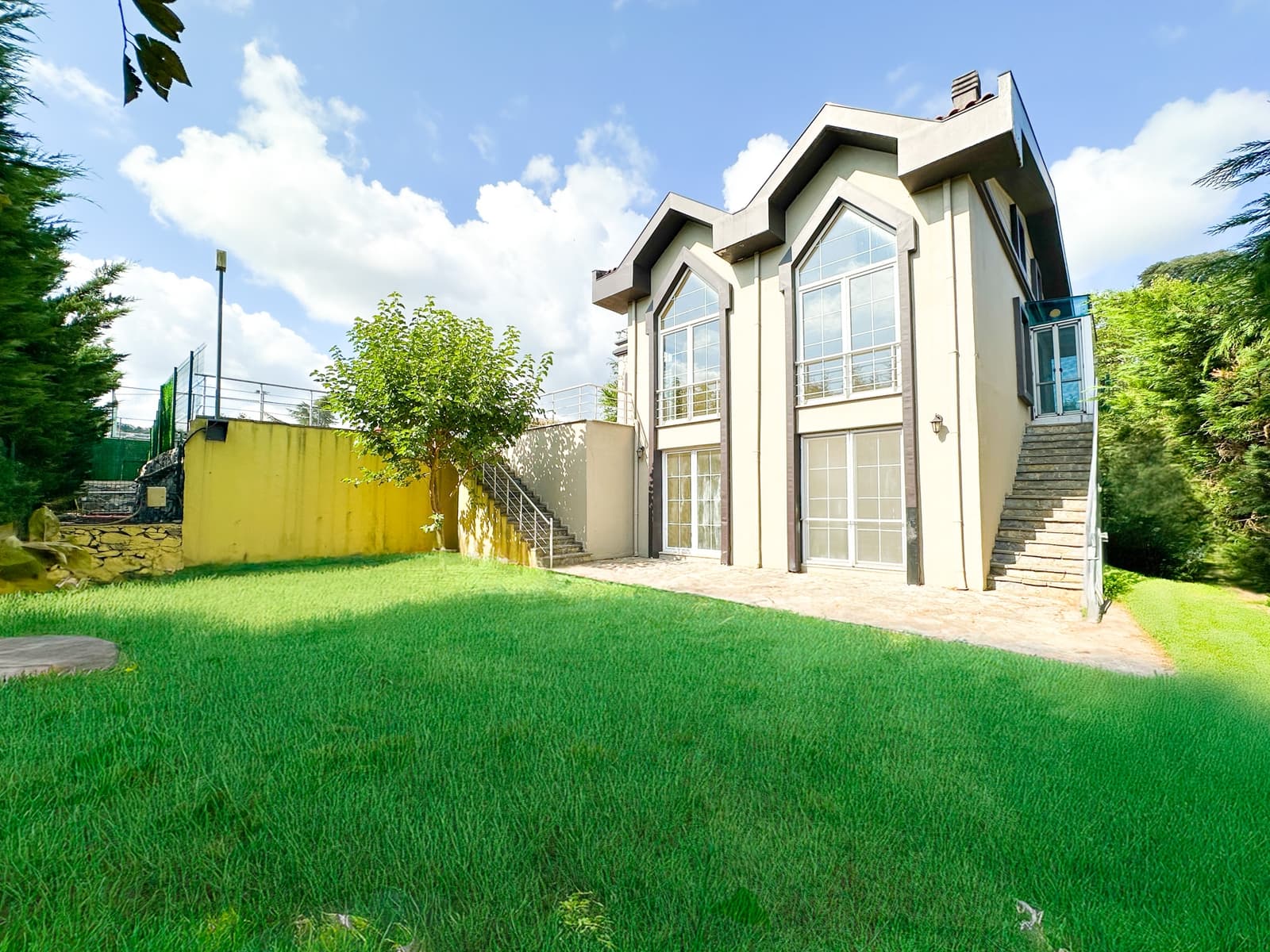
Most of the village's land has passed to developers over the last thirty years; the muhtar estimates some 2,500 villas in the village area, and Sarıyer municipality counts more than fifty compounds. New developments have concentrated here in recent years, so this is where the belt's newest building stock is.
In new developments we check the title type (kat irtifakı or kat mülkiyeti), the occupancy permit, the compound's management and what the service charge covers, one by one, before you buy.
Distances
- Kilyos beach
- 4.5 km~5 min
- Zekeriyaköy high street
- 4 km~5 min
- Sarıyer centre and pier
- 9.7 km~14 min
- Hacıosman M2 metro
- 14.9 km~17 min
- Maslak
- 17.5 km~19 min
- Levent
- 21.7 km~24 min
- Istanbul Airport
- 31.9 km~29 min
Road distance and free-flow driving time from the centre of the area (OpenStreetMap / OSRM, October 2026). Expect longer at rush hour.
Frequently asked
How long is it from Uskumruköy to Istanbul Airport?
You join the Northern Marmara Motorway at the Uskumruköy junction next to the village; the airport is about 32 km, under half an hour in free-flowing traffic. The H-8 airport bus stops at Uskumruköy Yolu.
Are there schools in Uskumruköy?
The village has Uskumru primary school and Ali Akkanat Anatolian High School. Private and international schools (British International School Istanbul, Doğa) are 4 km away in Zekeriyaköy.
How is Uskumruköy different from Zekeriyaköy?
Zekeriyaköy, with its high street and schools, is more established and livelier. Uskumruköy is quieter with larger plots, new developments concentrate here, and it has the nearest motorway junction. They are five minutes apart by car.
What do you check in a new development?
The title type (kat irtifakı or kat mülkiyeti), the occupancy permit, the compound's management and what the service charge covers. As the area has been a natural site since 2023, we also check zoning plot by plot.
Sources
- Wikipedia, Uskumruköy
- Wikipedia (en), Uskumruköy
- TÜİK ADNKS 2025 mahalle nüfusları (nufusune.com)
- Sarıyer Belediyesi, Sarıyer Yaşam Rehberi (2023)
- Sarıyer Posta, Zekeriyaköy–Uskumru bölgesi için doğal sit kararı (2023)
- Wikipedia, Otoyol 7 (Kuzey Marmara Otoyolu)
- İETT 152 Hacıosman Metro – Zekeriyaköy/Kısırkaya
- İETT H-8 Hacıosman Metro – İstanbul Havalimanı
- OpenStreetMap / OSRM yol mesafeleri (Ekim 2026)