Overview
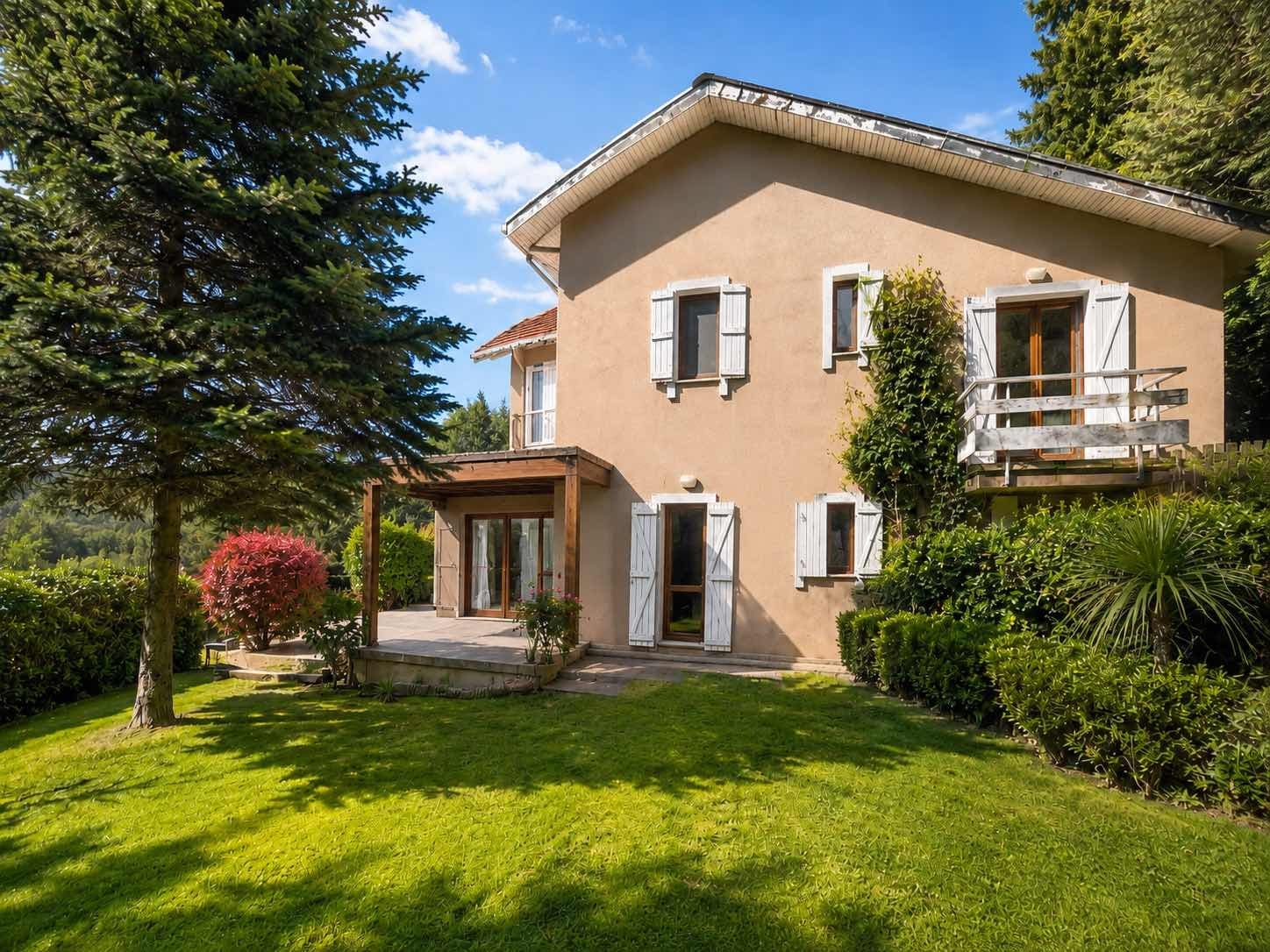
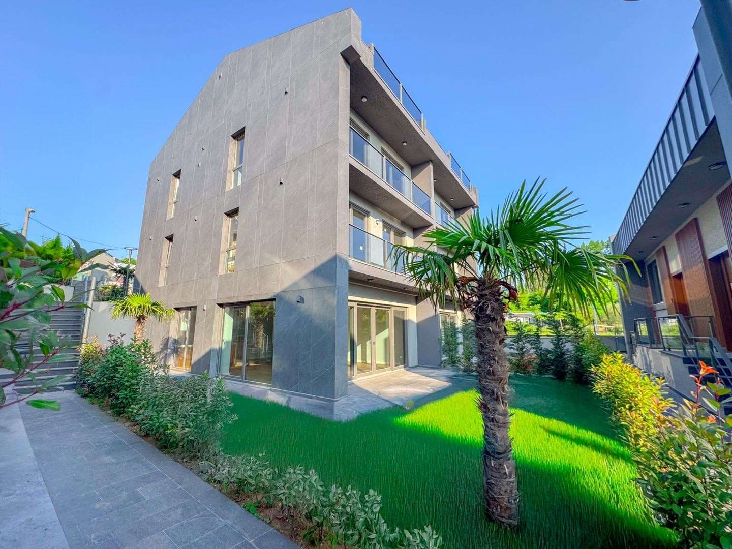
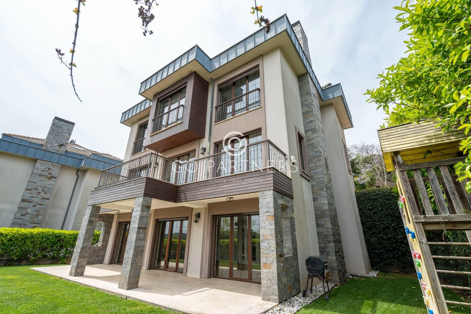
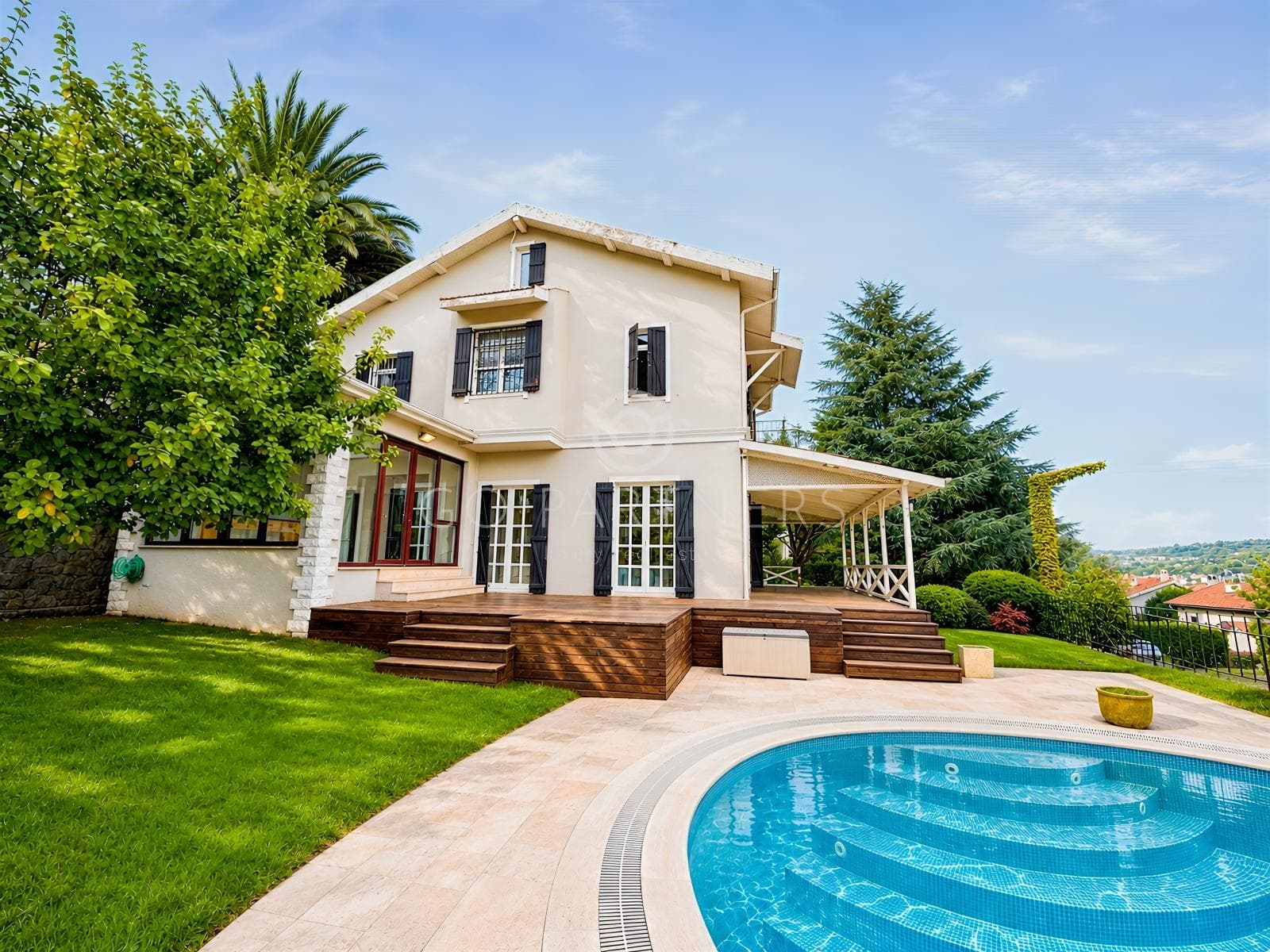
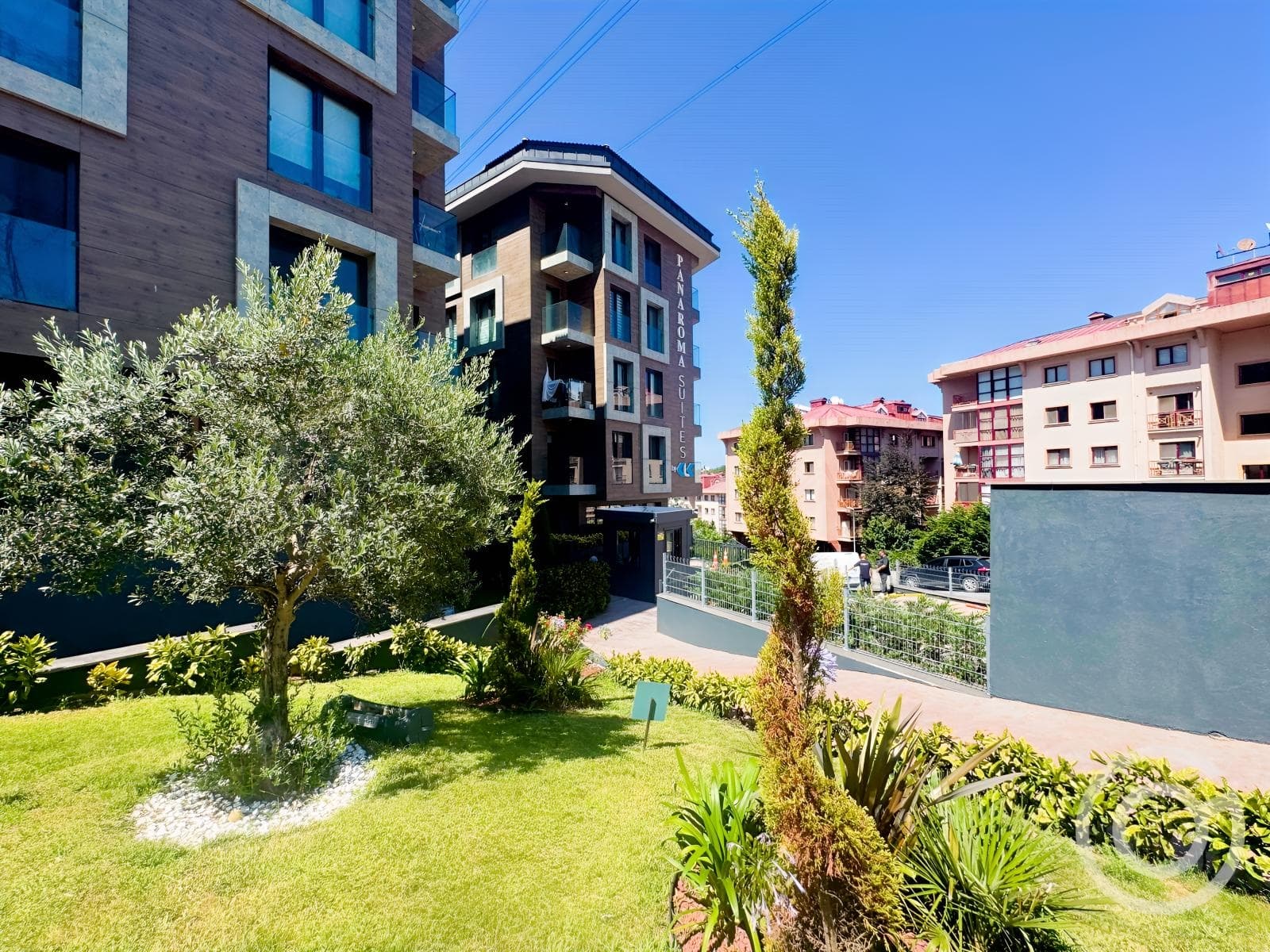
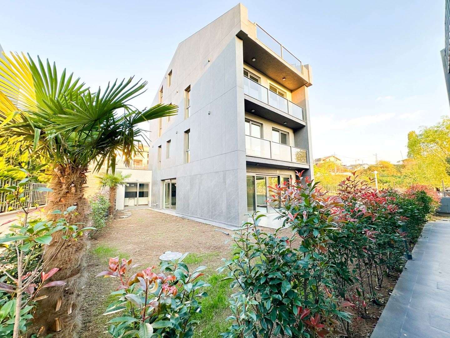
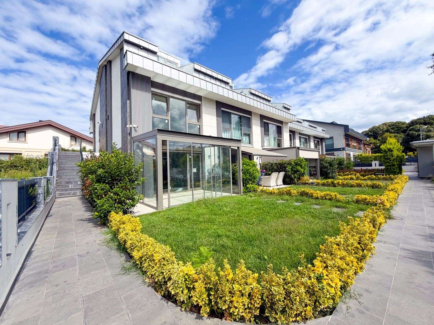
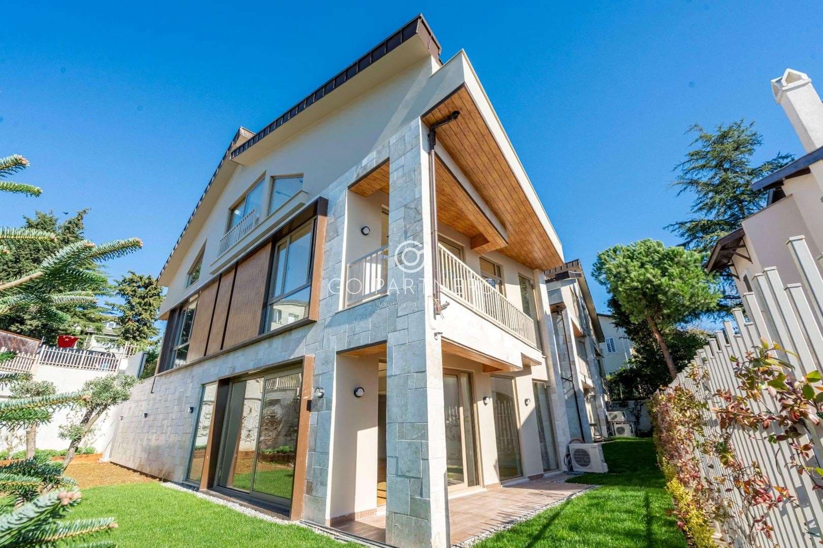
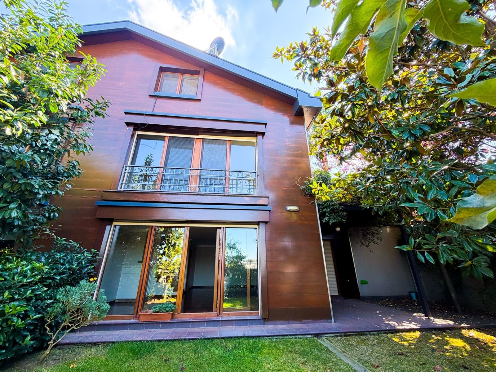
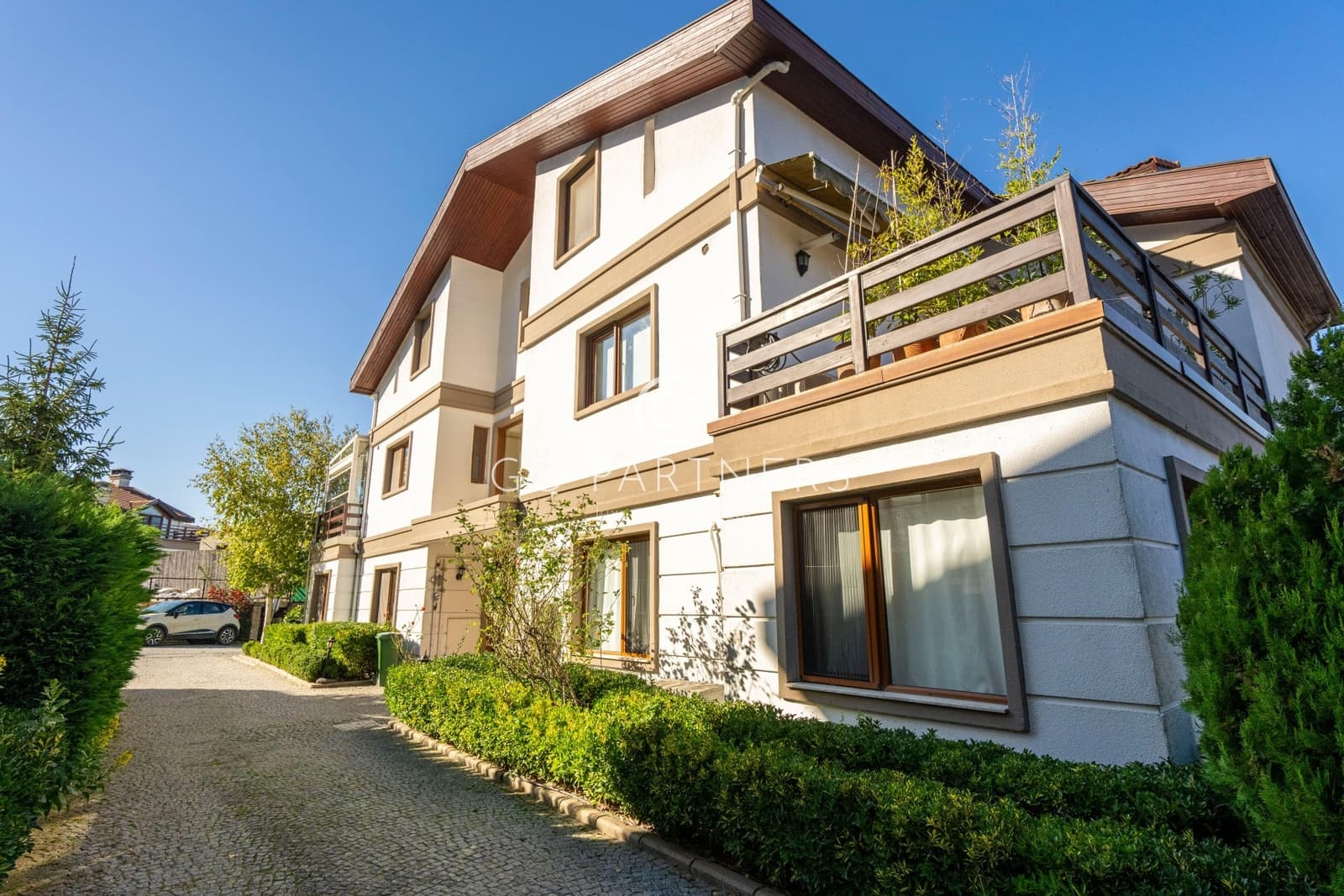
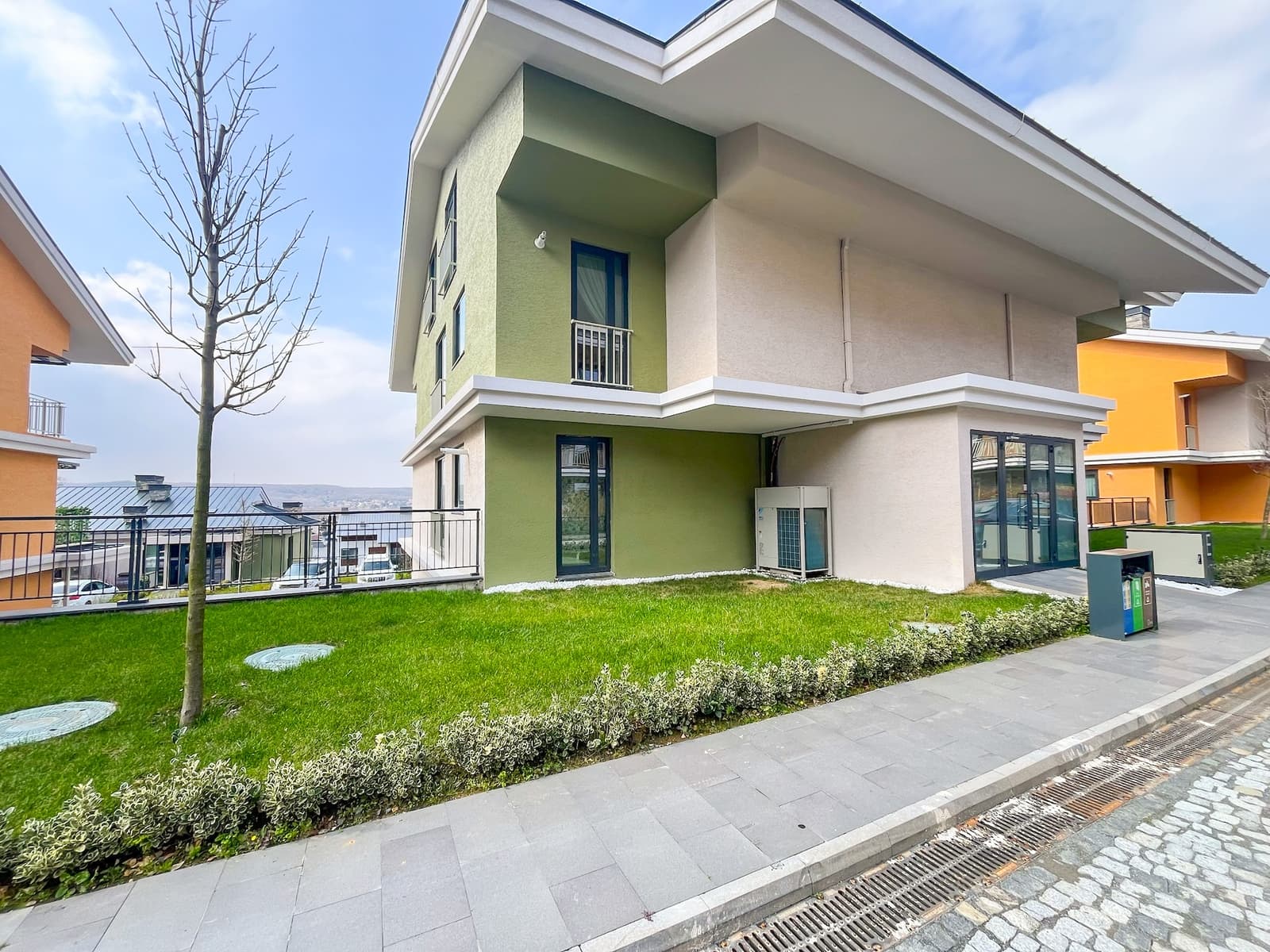
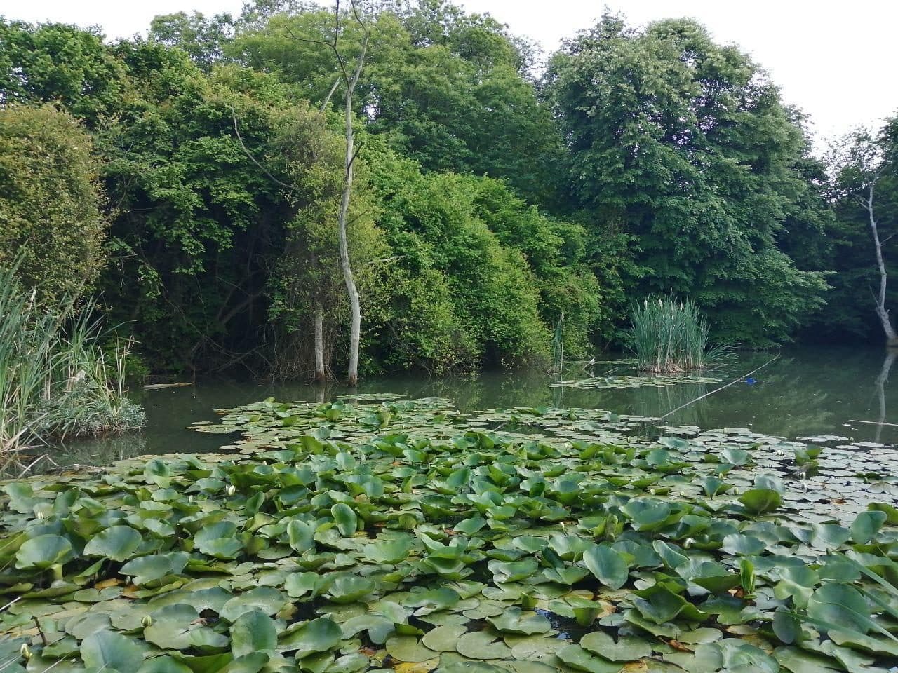
Zekeriyaköy is the centre of Sarıyer's northern forest belt. In the valley between the Belgrad Forest and the Black Sea coast, villa compounds built in different periods stand alongside detached houses with large gardens.
With its own high street, schools and medical centre it is the most established village in the belt, and the Hacıosman metro, Sarıyer centre and the Northern Marmara Motorway are a short drive away. For families who want to live in the forest yet close to the city, it is the first place to look.
The village's story
Zekeriyaköy takes its name from the tomb of Zekeriya Baba behind the village mosque. The village goes back at least to the 18th century; families from the Caucasus and Crimea were settled here after the Russo-Turkish War of 1877–78, and later arrivals came from the Black Sea coast.
Old sources know it for its cherries — local varieties such as sultani and dalbastı earned it the nickname 'Cherry Village'. Until the 1980s it was some seventy two-storey houses with gardens and a picnic ground. The first villa compounds arrived in the late 1980s, and the change sped up after the 1999 earthquake, as families left the city for low-rise houses with gardens.
Of the old village, the Soğuksu fountain of 1793 still stands where it was built.
Nature
The village sits in the valley behind Kilyos, between the Belgrad Forest and the Black Sea coast, with Maden, Bahçeköy, Uskumruköy, Demirciköy and Rumelifeneri around it. The forest's Bentler and Neşet Suyu nature parks and the Atatürk Arboretum in Bahçeköy are a few kilometres away; Kilyos beach is about 7 km.
In September 2023 the Zekeriyaköy–Uskumru area was registered as a natural site in the 'sustainable conservation and controlled use' category (Resmî Gazete, 7 September 2023), which protects its green, low-rise character. When you buy, we check each plot's zoning for you.
Getting around
The village's main road is Kilyos Caddesi. The way into town is the M2 metro at Hacıosman, about 9 km away; the Sarıyer–Çayırbaşı tunnel (2012) links the Hacıosman hill to Kilyos Caddesi. The nearest motorway access is the Uskumruköy junction (K11) on the Northern Marmara Motorway, a few kilometres north, and Istanbul Airport is about half an hour that way in free-flowing traffic.
The 6.9 km Sarıyer–Kilyos tunnel under construction will connect the Sarıyer–Çayırbaşı tunnel straight to the motorway; in September 2026 the transport ministry said it was aiming to open it by the end of the year.
By bus, line 152 (Hacıosman Metro – Zekeriyaköy/Kısırkaya) runs through the village, and line 151 (Hacıosman Metro – Kilyos/Demirciköy) and the H-8 airport bus stop at the Zekeriyaköy stops on Kilyos Caddesi.
Schools and health
For families looking for an international school, the strongest option is inside the village: the Zekeriyaköy campus of British International School Istanbul on Kilyos Caddesi, from pre-school to the end of secondary, teaching Cambridge IGCSE and the IB Diploma. The private Doğa primary school and Doğa high school are also in Zekeriyaköy, alongside the state Zekeriyaköy primary and middle schools and several private kindergartens.
Elsewhere in Sarıyer are ENKA Schools in İstinye and the middle and high school campus of Lycée Pierre Loti in Tarabya.
The village has the Acıbadem Zekeriyaköy medical centre, with outpatient clinics and an emergency unit. The nearest full public hospital is Sarıyer Hamidiye Etfal Training and Research Hospital on Bahçeköy Caddesi (2019); the private hospitals in Maslak are 15–20 minutes away in free-flowing traffic.
Daily life
The belt's liveliest high street is here: grocers, a bakery, pharmacies, cafés and restaurants gather in the village centre and around the Koza Evleri shops, and the garden cafés and weekend breakfast places draw visitors from the city.
For sport and the outdoors there is the Zekeriyaköy Sports Club, riding lessons at Göçmen's Ranch and the walking and running trails of the Belgrad Forest. The old orchard-and-garden character lives on in the larger gardens.
Homes
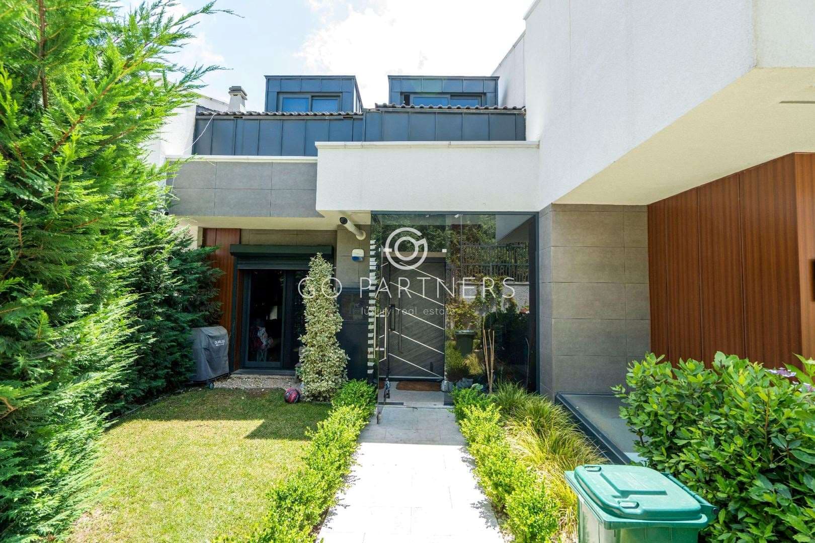
The housing comes in two layers: villa compounds built in different periods since the late 1980s, and detached houses on large plots, side by side. In a compound, security, shared grounds, a pool and a service charge are part of life; in a detached house every one of those becomes the owner's job.
Even within the village two houses can differ a great deal: walking distance to the high street, altitude and slope (the village spreads from about 40 to 220 metres), and which way the façade faces the sun and the wind all change daily life, so we compare houses by where they sit in the village, not only by rooms and price. We also check the zoning, occupancy permit and title type for you.
Distances
- Hacıosman M2 metro
- 8.9 km~13 min
- Sarıyer centre and pier
- 5.7 km~10 min
- Kilyos beach
- 6.7 km~8 min
- Maslak
- 12.6 km~17 min
- Levent
- 16.8 km~21 min
- Taksim
- 24.8 km~32 min
- Istanbul Airport
- 34 km~31 min
Road distance and free-flow driving time from the centre of the area (OpenStreetMap / OSRM, October 2026). Expect longer at rush hour.
Frequently asked
How do you get into the city from Zekeriyaköy?
The nearest rail link is the M2 metro at Hacıosman, about 9 km or 13–15 minutes in free-flowing traffic. Bus 152 runs from the village to Hacıosman. By car, the Northern Marmara Motorway is reached at the Uskumruköy junction.
Is there an international school in Zekeriyaköy?
Yes. The Zekeriyaköy campus of British International School Istanbul is in the village, teaching IGCSE and the IB from pre-school up. There are also the private Doğa schools and the state primary and middle schools.
How far is Istanbul Airport?
About 34 km via the Northern Marmara Motorway, roughly half an hour in free-flowing traffic. The H-8 airport bus also stops in Zekeriyaköy.
What does the natural-site status mean?
The Zekeriyaköy–Uskumru area was registered as a natural site (sustainable conservation and controlled use) in 2023. It protects the area's green, low-rise character; building rights are set plot by plot, and before an offer we check the zoning, occupancy permit and title type for you.
How easy is everyday life?
Grocers, a bakery, pharmacies, cafés and restaurants are in the village centre and around the Koza Evleri shops, so most errands are on foot. Schools and a medical centre are in the village too.
Sources
- Wikipedia, Zekeriyaköy (Sarıyer)
- TÜİK ADNKS 2025 mahalle nüfusları (nufusune.com)
- Sarıyer Belediyesi, Sarıyer Yaşam Rehberi (2023)
- Sarıyer Posta, Zekeriyaköy–Uskumru bölgesi için doğal sit kararı (2023)
- Sabah, Sarıyer–Kilyos Tüneli yıl sonunda açılacak (28.09.2026)
- İETT 152 Hacıosman Metro – Zekeriyaköy/Kısırkaya
- İETT H-8 Hacıosman Metro – İstanbul Havalimanı
- British International School Istanbul, Zekeriyaköy kampüsü
- Acıbadem Zekeriyaköy Tıp Merkezi
- OpenStreetMap / OSRM yol mesafeleri (Ekim 2026)