
Overview
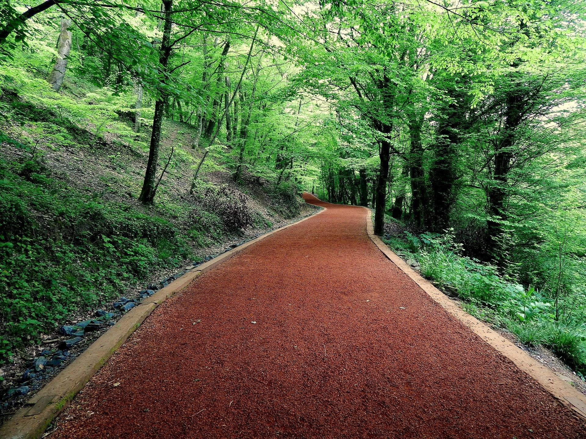
Maden sits on the hillside between Sarıyer centre and the forest villages. It is the belt's closest point to the hospital, the shops, the pier and the Bosphorus, with Zekeriyaköy a few minutes away.
Flats, compounds and detached houses sit side by side, which gives a choice across budgets. It is the right address for anyone who wants to stay close to the city and the Bosphorus while reaching the forest villages easily.
The neighbourhood's story
Maden — 'mine' — is named after gold and copper mines worked in Byzantine and Ottoman times; the Byzantines are said to have struck coins from its metal, and the Ottomans closed the mines as unprofitable. One story even derives the name Sarıyer, 'yellow place', from these ridges, coloured by the ore and the clay.
Today's neighbourhood began with migrants from Bulgaria after the war of 1877–78 and grew with population-exchange families in the early Republic; building took off after the 1980s. Its historic traces include the Orta Çeşme fountain of 1822 at the Sarıyer–Maden fork, the Nalbant fountain of 1797, the Maden mosque of 1900 and the Çırçır spring, an excursion spot for centuries.
Where it is
Maden sits on the ridges north-west of Sarıyer centre, on the Sarıyer–Kilyos road, between Merkez, Rumelikavağı, Kâzım Karabekir Paşa, Kocataş and Zekeriyaköy. Everyone driving up from the Bosphorus to Zekeriyaköy, Bahçeköy, Uskumruköy or Kilyos passes through it, which makes it the doorway to both the Bosphorus and the forest villages.
Getting around
Sarıyer centre and the pier are about 4 km away, the Hacıosman metro 6 km and Maslak 10 km. Bus 151 and the H-8 airport bus run through the neighbourhood.
From Sarıyer pier, City Lines ferries run to Rumelikavağı and Anadolukavağı, to Beykoz and to Kadıköy — the nearest pier for anyone who would rather cross the Bosphorus by water.
Schools and health
Sarıyer Hamidiye Etfal Training and Research Hospital is next door in Kâzım Karabekir Paşa, on Bahçeköy Caddesi.
For international schools, the Zekeriyaköy campus of British International School Istanbul is a few kilometres north, and ENKA Schools in İstinye and Lycée Pierre Loti in Tarabya are also within Sarıyer.
Daily life
Daily life runs into Sarıyer centre: Meşhur Sarıyer Börekçisi, baking its rolled börek in a stone oven in the same building since 1895, the Tarihi Sarıyer Muhallebicisi, founded in 1928 on milk from a farm in Zekeriyaköy, and the fish restaurants around the fish market are five minutes away.
The neighbourhood has its own cafés, wedding and event gardens and the amateur football club Madenspor.
Homes and planning
The housing is mixed: old two-storey houses on narrow streets, compound flats and villas side by side. Parts of the neighbourhood fall under the Sarıyer Bosphorus background and impact zone conservation plan approved by the İBB assembly on 19 February 2024.
Under the Bosphorus law, buildings in the background zone may cover at most 15 per cent of the plot and rise four storeys (12.50 m); in the impact zone the limit is five storeys (15.50 m), and both zones allow housing only. Which zone a plot falls in is shown on its zoning certificate — the first document we check when buying in Maden.
Distances
- Sarıyer centre and pier
- 3.7 km~6 min
- Hacıosman M2 metro
- 6.3 km~9 min
- Zekeriyaköy
- 2.6 km~5 min
- Maslak
- 10 km~12 min
- Levent
- 14.1 km~17 min
- Kilyos beach
- 9.2 km~12 min
- Istanbul Airport
- 36.5 km~36 min
Road distance and free-flow driving time from the centre of the area (OpenStreetMap / OSRM, October 2026). Expect longer at rush hour.
Frequently asked
Is Maden under the Bosphorus law?
Part of the neighbourhood lies in the Bosphorus background and impact zones, covered by the conservation plan approved in 2024. Building limits vary by plot and are checked on the zoning certificate.
How do you get to the Bosphorus and the metro from Maden?
Sarıyer centre and the pier are about 4 km away and the Hacıosman metro 6 km; buses 151 and H-8 run through the neighbourhood.
How is Maden different from the forest villages?
Maden is closer to the city and the Bosphorus, denser and more mixed: flats, compounds and detached houses together, rather than the forest villages' pattern of villas on large plots.
Sources
- Wikipedia, Maden (Sarıyer)
- Sarıyer Belediyesi, Sarıyer Yaşam Rehberi (2023)
- İBB Şehir Planlama, Sarıyer Boğaziçi Gerigörünüm ve Etkilenme Bölgesi planı (2024)
- 2960 sayılı Boğaziçi Kanunu
- İETT 151 Hacıosman Metro – Kilyos/Demirciköy
- İETT H-8 Hacıosman Metro – İstanbul Havalimanı
- OpenStreetMap / OSRM yol mesafeleri (Ekim 2026)