
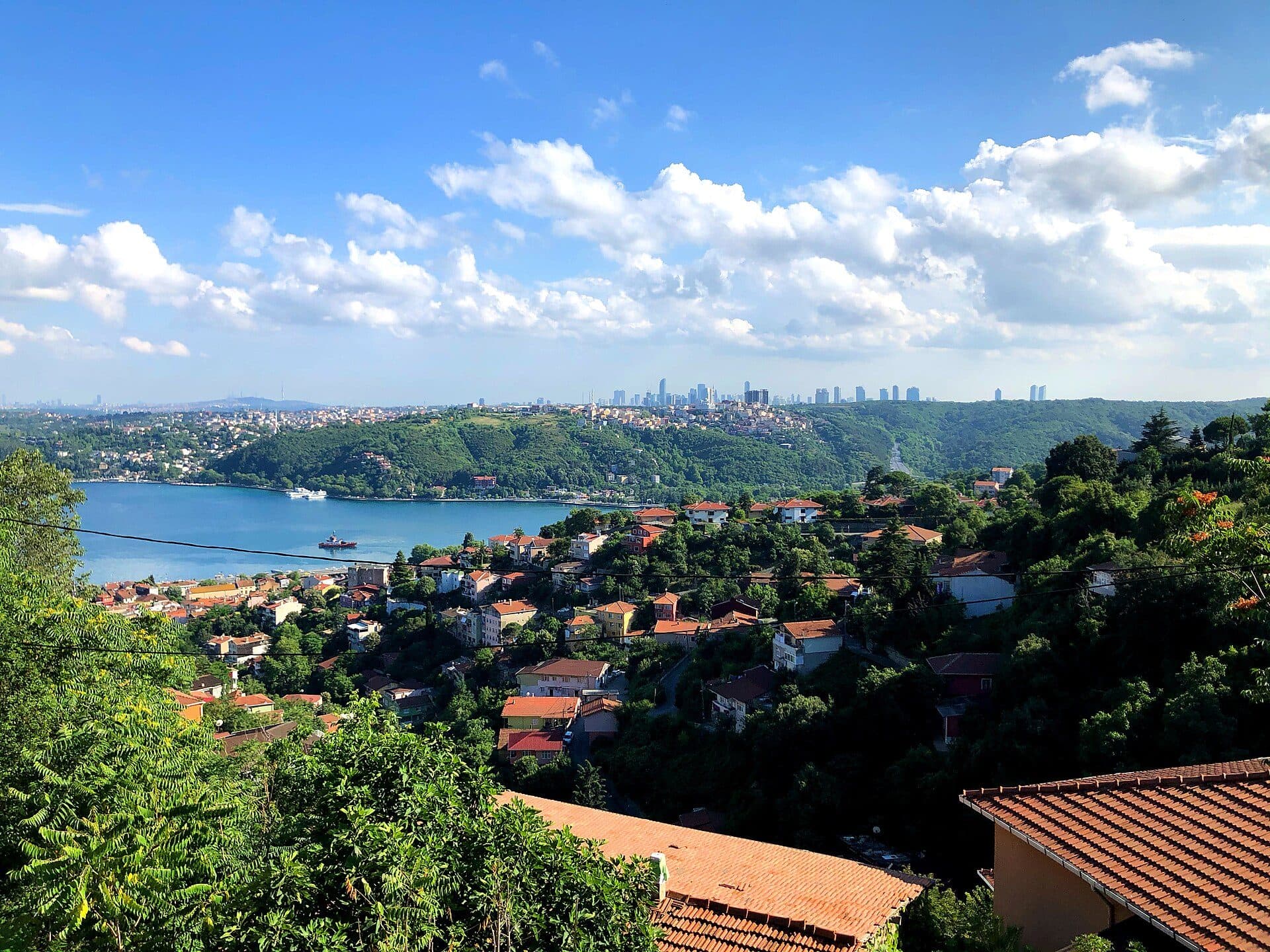
Overview
Sarıyer runs from the historic villages on the Bosphorus to the Belgrad Forest and the Black Sea coast. Its centre offers every service — health care, public offices, shops — and the M2 metro and Bosphorus ferries connect it to the city.
Fishing piers on the shore, the Bosphorus road and the running and walking trails of the Belgrad Forest are part of daily life. Most of our portfolio is in the district's northern forest villages: Zekeriyaköy, Uskumruköy, Demirciköy and Kilyos.
The district
Sarıyer is the northern tip of Istanbul's European side, running from the Bosphorus shore to the Belgrad Forest and the Black Sea. Nearly two-thirds of its roughly 175 km² is green space, and about 345,000 people live in its 38 neighbourhoods.
The district was created in 1930; until then the Bosphorus shore belonged to Beyoğlu and the rural villages to the Kilyos sub-district of Çatalca. The municipality was founded in 1984; Bahçeköy joined in 2008–09 and Ayazağa, Maslak and Huzur in 2012. The eight northern villages — Kilyos (Kumköy), Demirciköy, Garipçe, Gümüşdere, Zekeriyaköy, Kısırkaya, Rumelifeneri and Uskumruköy — became neighbourhoods in 2014.
The forest villages
From the late 1980s, families who wanted to be close to both nature and the city began moving to the northern villages, and the villa compounds around Zekeriyaköy, Uskumruköy and Demirciköy grew up in that period. Zekeriyaköy, a village of a few hundred people in the 1970s, now has more than 24,000 residents.
Most of the belt is ringed by forest and protected land: the Zekeriyaköy–Uskumru area was registered as a natural site in 2023, and the Bosphorus law sets the limits in neighbourhoods near the strait. Reading a plot's zoning is therefore as important as the price when buying here.
Getting around
The backbone is the M2 metro: its terminus at Hacıosman (2011) and the İTÜ Ayazağa, Atatürk Oto Sanayi and Darüşşafaka stations are in the district, with direct trains to Levent, Taksim and Yenikapı. The M6 links Levent to Boğaziçi University/Hisarüstü.
The European end of the Yavuz Sultan Selim Bridge (2016) is at Garipçe, and the Northern Marmara Motorway, via the Uskumruköy junction, puts the belt half an hour from Istanbul Airport. Ferries run on the Bosphorus from the Sarıyer and Rumelikavağı piers.
Schools, universities, hospitals
The district is well served for schools: British International School Istanbul in Zekeriyaköy, ENKA Schools in İstinye and the middle and high school campus of Lycée Pierre Loti in Tarabya. İTÜ's Ayazağa campus, Boğaziçi University's Sarıtepe (Kilyos) campus and Koç University in Rumelifeneri are all within Sarıyer.
The main hospitals are Acıbadem Maslak, Sarıyer Hamidiye Etfal Training and Research Hospital, İstinye State Hospital, Baltalimanı Bone Diseases Hospital and Liv Hospital Vadistanbul.
Forest and beaches
The Belgrad Forest covers 5,442 hectares across Sarıyer and Eyüpsultan; with its historic dams built between 1620 and 1839, the Bentler and Neşet Suyu nature parks and the Atatürk Arboretum in Bahçeköy, it is one of Istanbul's largest forests.
Kilyos is the district's favourite beach; on the Bosphorus side, Altınkum and Elmaskum at Rumelikavağı are still open.
Distances
- Hacıosman M2 metro
- 6.8 km~8 min
- Maslak
- 10.5 km~11 min
- Kilyos beach
- 12.1 km~16 min
- Levent
- 14.7 km~16 min
- Taksim
- 22.7 km~27 min
- Istanbul Airport
- 39.4 km~40 min
Road distance and free-flow driving time from the centre of the area (OpenStreetMap / OSRM, October 2026). Expect longer at rush hour.
Frequently asked
Which are Sarıyer's forest villages?
The old northern villages are Zekeriyaköy, Uskumruköy, Demirciköy, Kilyos (Kumköy), Kısırkaya, Gümüşdere, Rumelifeneri and Garipçe; they became neighbourhoods in 2014.
How do you get from Sarıyer to Istanbul Airport?
Join the Northern Marmara Motorway at the Uskumruköy junction; from the belt the airport is about half an hour. The H-8 bus runs from the Hacıosman metro through Maden and Zekeriyaköy to the airport.
Which international schools are in Sarıyer?
British International School Istanbul in Zekeriyaköy, ENKA Schools in İstinye and Lycée Pierre Loti (middle and high school) in Tarabya.